Editorial Cartography
National Geographic Bookazine Atlas
Sketch and finished maps produced for a forthcoming National Geographic Bookazine atlas.
- Year
- 2026
- Role
- Cartography Intern
- Organization
- National Geographic, Washington, D.C.
- Tools
- ArcGIS Pro, QGIS, Adobe Illustrator, Adobe Photoshop, MAPublisher
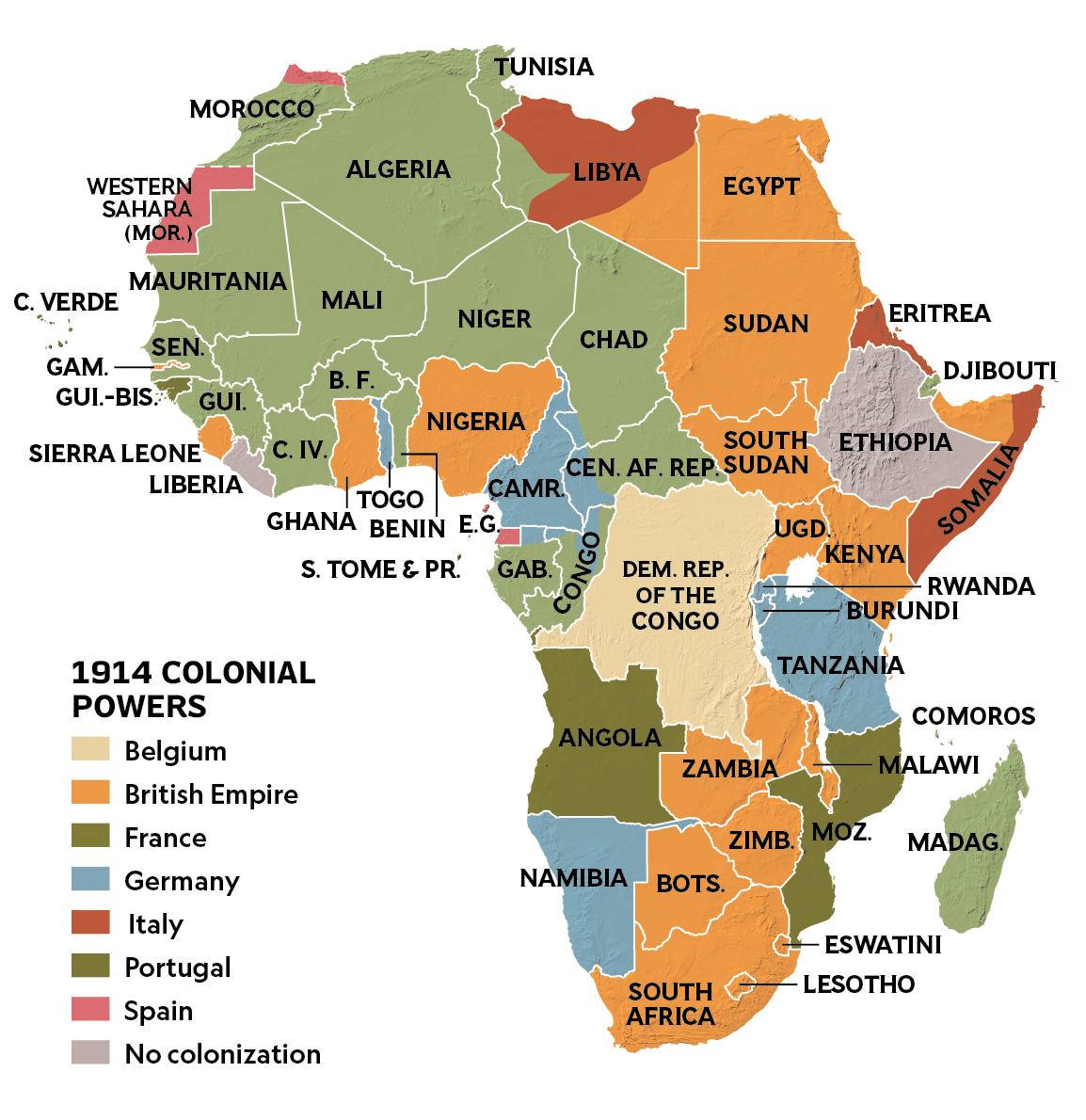
Project Description
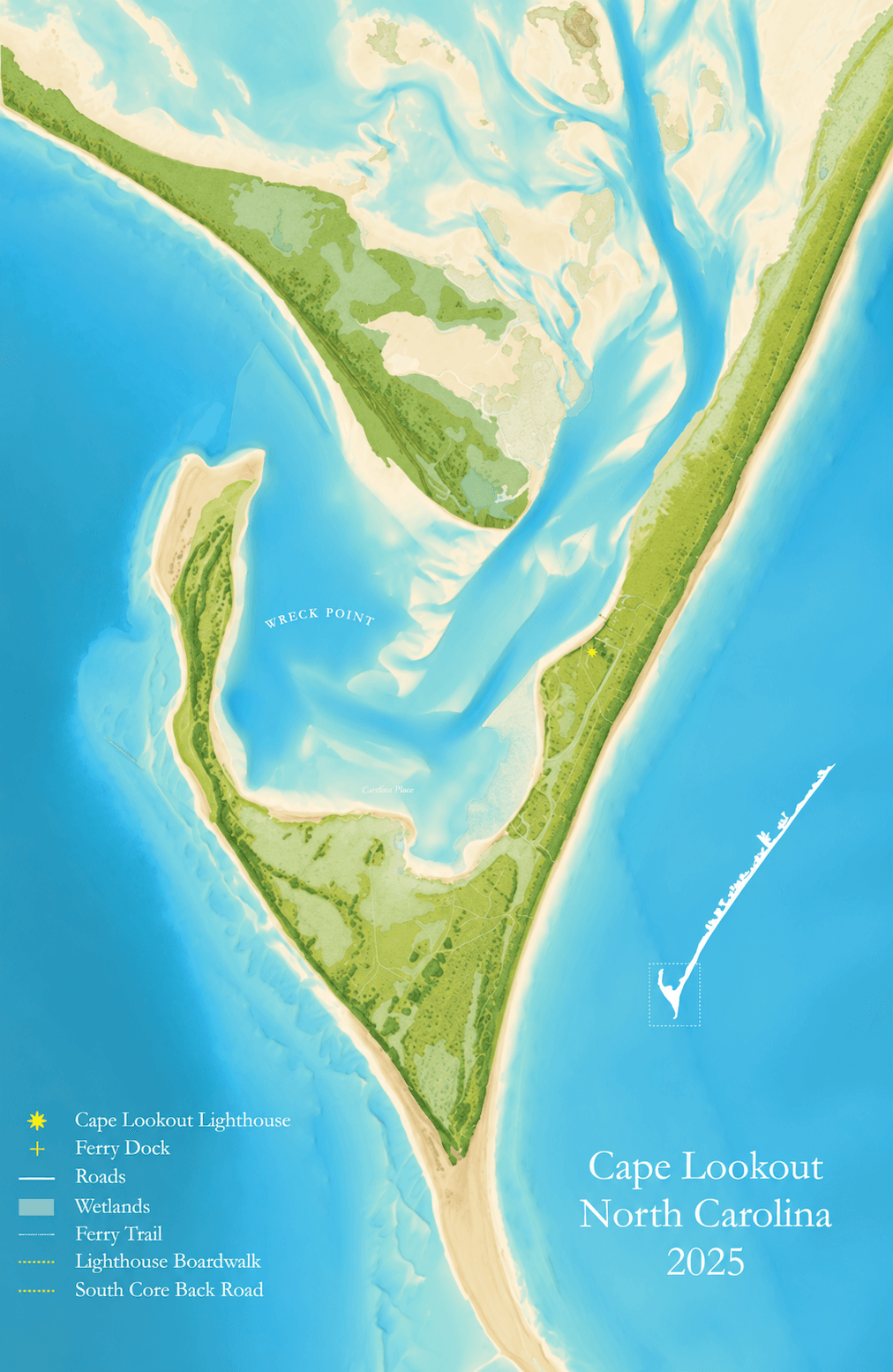
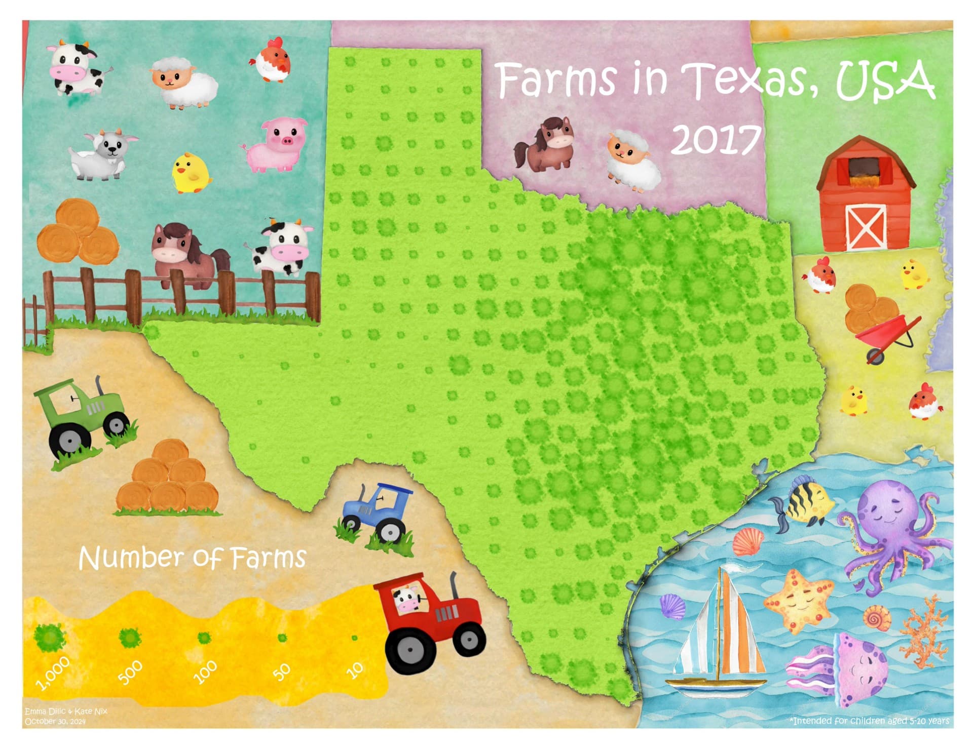
Alongside editorial map work, I contributed sketch and reference maps for a forthcoming National Geographic Bookazine atlas, producing over twenty sketch maps as part of the internship's print and digital map output.
This early-stage cartographic work — establishing composition, hierarchy, and content before a map is finalized — is a core part of how National Geographic develops atlas-scale publications.
Methodology
Sketches and layout studies were developed in tandem with the internship's broader production workflow: ArcGIS Pro and QGIS for spatial data, Illustrator, Photoshop, and MAPublisher for design and finishing.
Maps & Visualizations
Results & Outcome
Twenty-plus sketch maps contributed toward a forthcoming Bookazine atlas, in addition to three digital maps and four print maps produced during the internship.